In southern South America there is a Land where immensity reigns, the contrasts amaze and people’s warmth is unsurpassed: Patagonia… the place in this world. How to describe it?
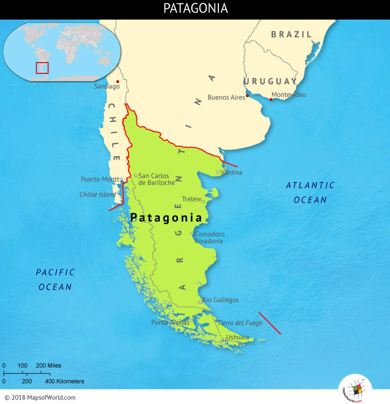
Map of Patagonia
Where is Patagonia?
First and foremost: Patagonia is not a country but a geographical region. Its location is in the southernmost tip of mainland South America and sits between the Pacific and Atlantic oceans. Patagonia is a huge territory of more than 400,000 square miles that belongs mostly to Argentina but includes a small part of Chile too.
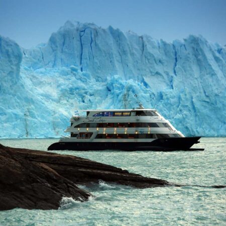
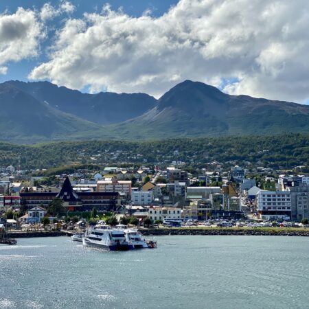
Also part of the Patagonia region is the island of Tierra del Fuego and its capital city, Ushuaia. This is the best gateway to Antarctica as the distance between continents is only 600 miles here. Tierra del Fuego is also close to Cape Horn, the Magellan Strait and such names can only bring us back to old myths, adventure and legends.
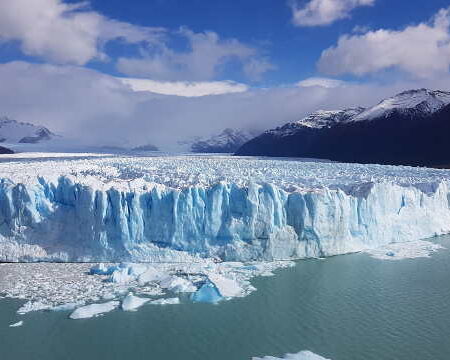
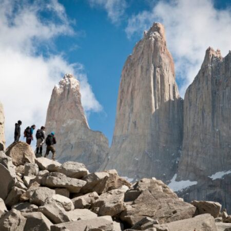
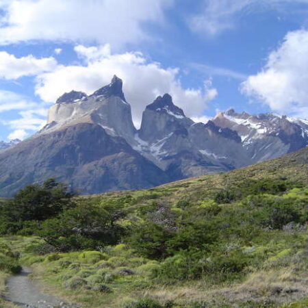
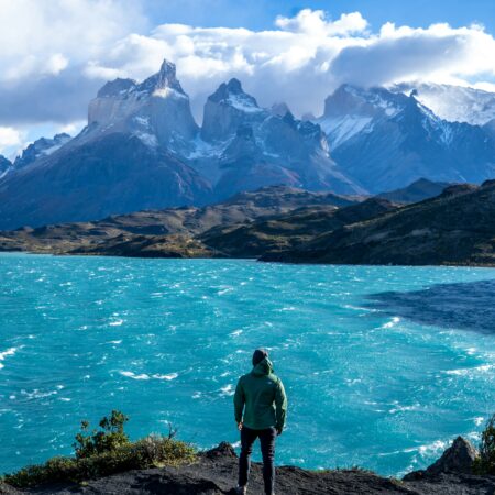
The Andes mountain range constitutes the natural borderline dividing Chilean and Argentine Patagonia sectors.
Argentina’s share of Patagonia
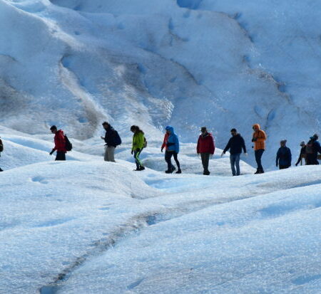
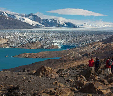
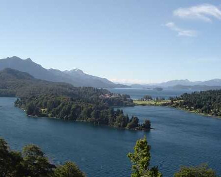
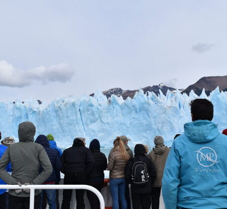
• It is mountains. The Patagonian Andes Region extend to the west like a huge wall acting as a borderline with Chile. With landscapes of lakes and pines, it has snow during winter and plenty of flowers and scents during summer.
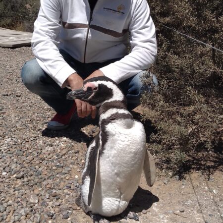
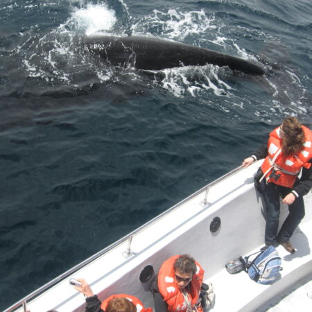
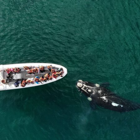
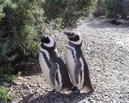
• Towards the east, the Atlantic Patagonia Region and its beaches. A deep blue sea with warm waters coming from Brazil at North Patagonia, and cold in the south (past St. Matías Gulf) populated by penguins, whales and dolphins.
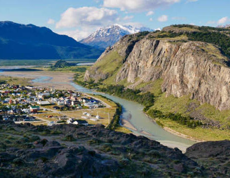
• It is also a vast plateau in its central part, with high “steps” descending from the Andes region towards the Ocean. Most of Argentine Patagonia’s surface lies in this area. Flat and distant horizons, which are sometimes interrupted by the blue ribbons formed by the big rivers and their valleys.
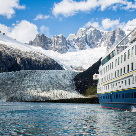
• And finally the corollary of this Land of the Extreme is Tierra del Fuego, also known as the “Uttermost End of the World“. Mountains and sea come together here like in no other place in the American continent. Tierra del Fuego region encloses the city of Ushuaia, Cape Horn, the Magellan Strait and is also a gateway to Antarctica.