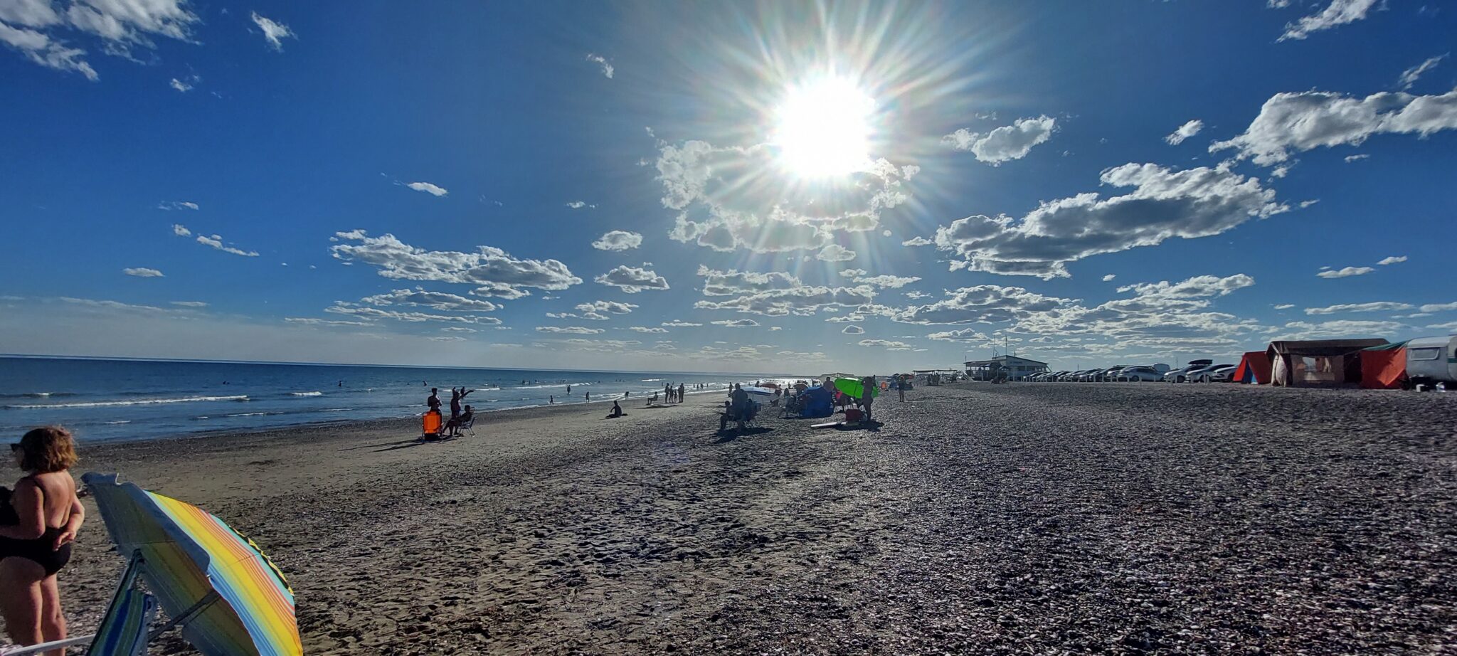
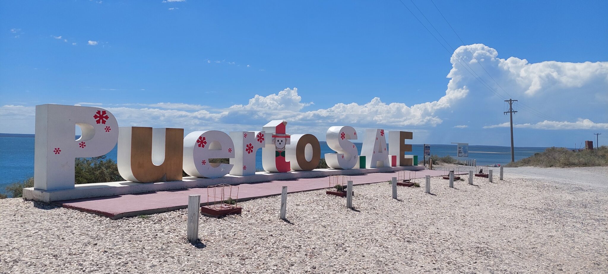
At the access to the Port of San Antonio Este, a 15-kilometer stretch unfolds a succession of blue-sea beaches, very popular in summer and suitable for diving and fishing.
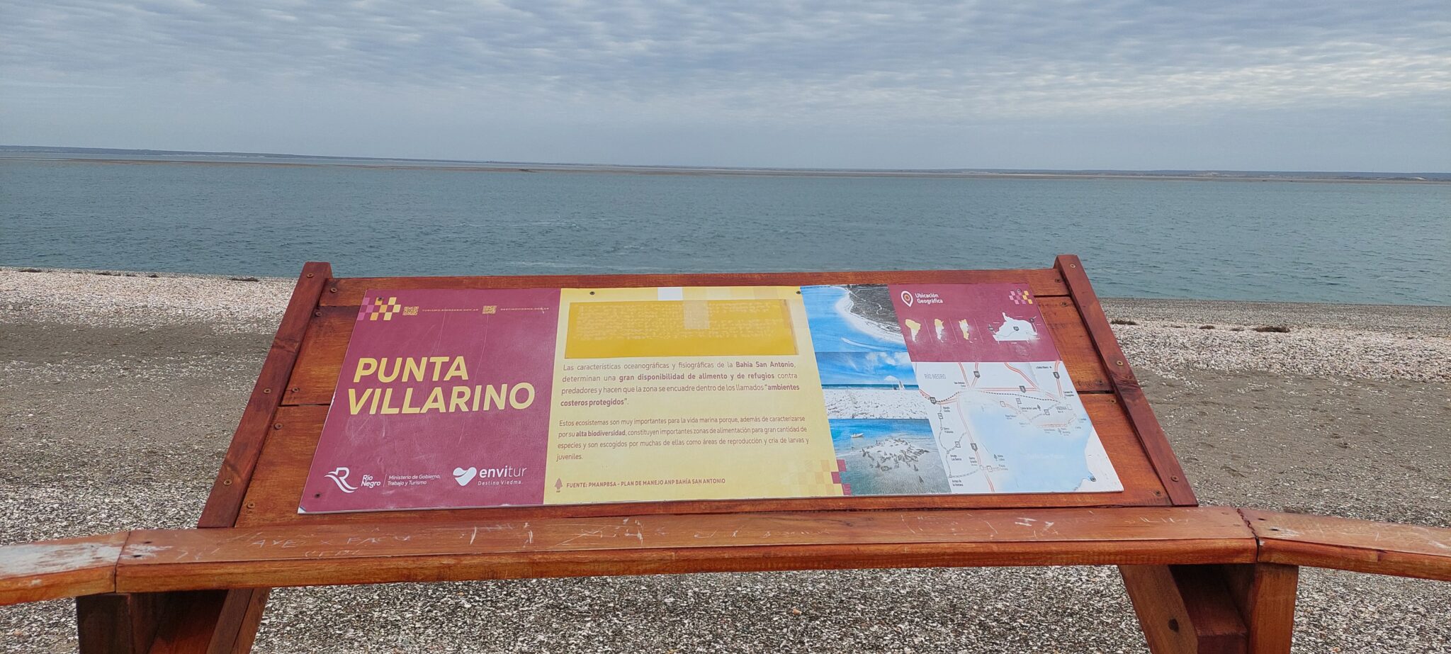
 Among them stand out Saco Viejo, Las Conchillas, Punta Perdices, known as the Patagonian Caribbean, and Punta Villarino.
The port, inaugurated in 1982, takes advantage of a deep-water bay and today constitutes a key point for the export of fruit from the Alto Valle of the Negro River.
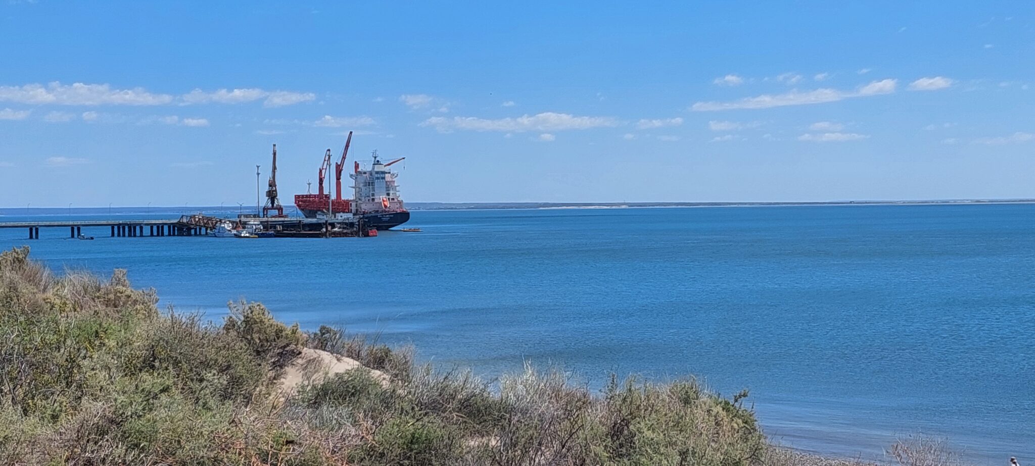 Its permanent population is small and largely linked to port activity.
Coastal landscape
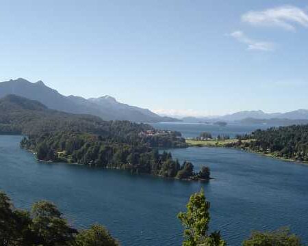
 The area’s beaches are characterized by calm, transparent waters, with wide sandy stretches that maintain an air of tranquility. These spaces have historically been valued by residents of San Antonio Oeste and visitors from various regions.
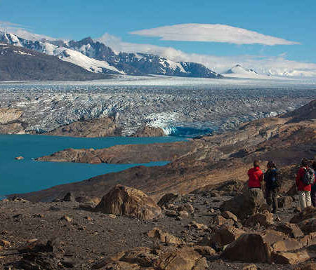
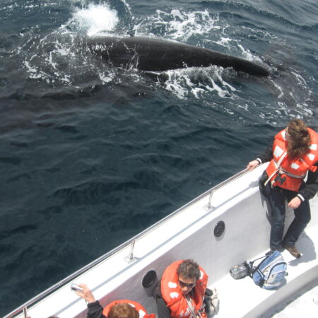
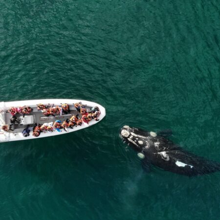
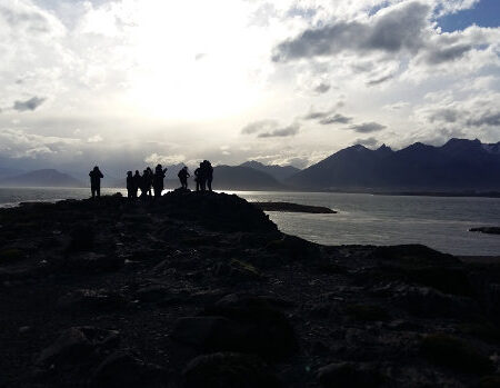
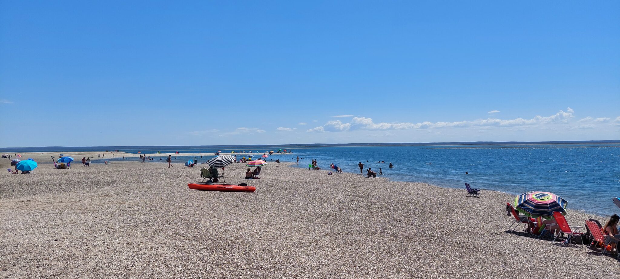 At the Mirador Sur are located the overseas pier and a South American sea lion haul-out. From the shore, recreational fishing is a common practice, complemented by boat trips for marine wildlife watching —especially whales, visible from June to October—, sport fishing, and kayaking tours.
Gastronomy and services
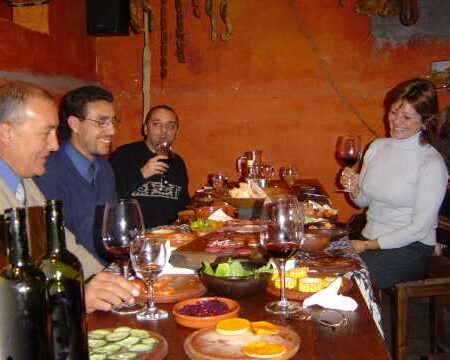
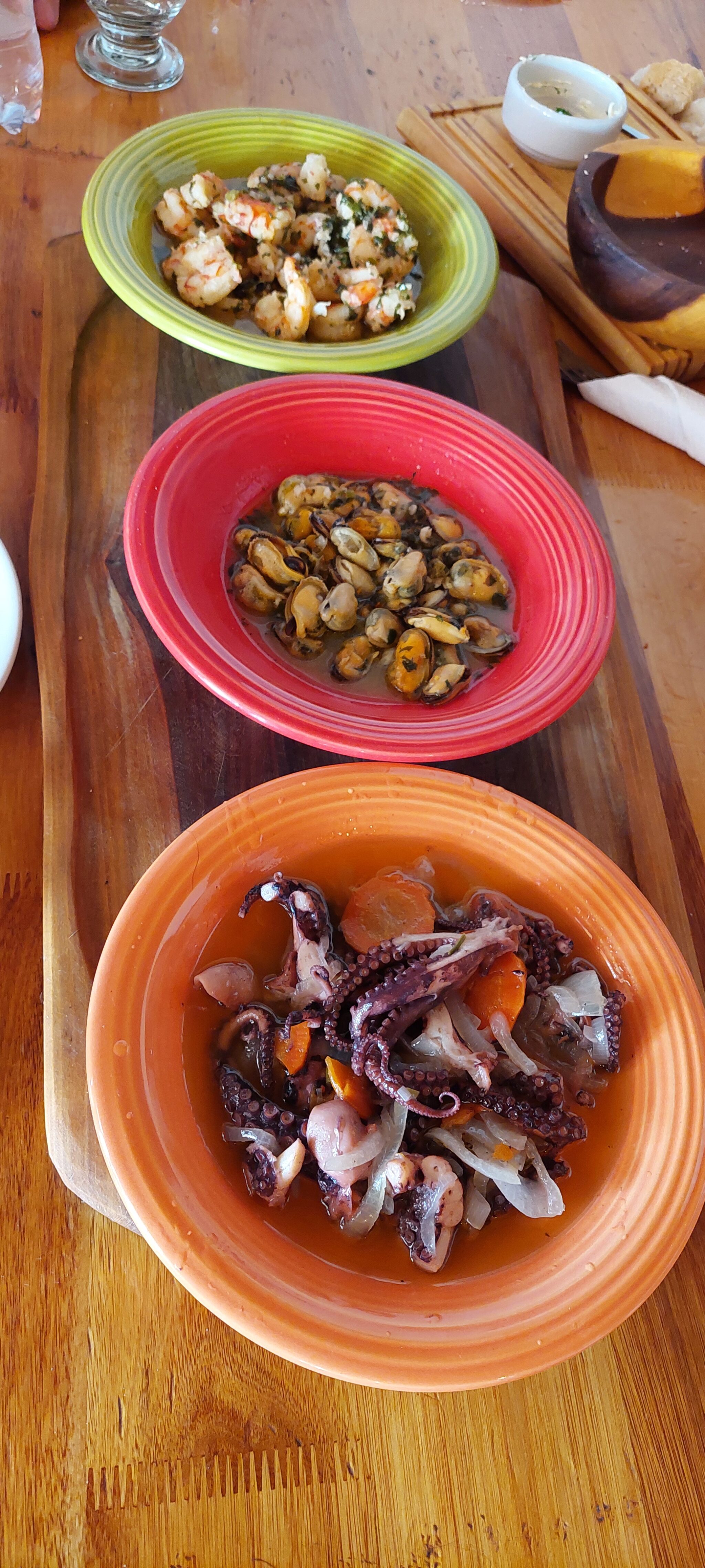 The gastronomic tradition focuses on fresh seafood and fish offered by portside cantinas, reference spots that are part of the local identity. In recent years, lodging infrastructure has diversified, incorporating new alternatives into the existing offer.
Location and access
The Port of San Antonio Este is located on the northern edge of the Villarino Peninsula, within San Antonio Bay, in the San Matías Gulf. It is 52 kilometers from Las Grutas and is connected with different regions of the country through several routes:
- National Route Nº 3, which connects it with Viedma and Bahía Blanca to the east.
- Provincial Route Nº 250, which connects with the Middle Valley, the Alto Valle of Río Negro, Neuquén, and Mendoza.
- Provincial Route Nº 251, linking with General Conesa, Río Colorado, Bahía Blanca, and the province of La Pampa.
- Provincial Route Nº 1, which connects Viedma with the port, running along much of the Río Negro coast on gravel roads.
- National Route Nº 23, which crosses the Río Negro steppe and reaches San Carlos de Bariloche, passing through Valcheta, Los Menucos, Maquinchao, and Ingeniero Jacobacci.
© Sergio Pappatico