A journey through Patagonia’s secret beaches, the “other coast”
When speaking of the “Atlantic coast” in Argentina, the mind usually drifts to the popular beaches north of Buenos Aires province. Yet not far from there, in northern Patagonia, lies a natural treasure with an extraordinary variety of beaches, seaside towns, and untouched landscapes waiting to be discovered.
 The journey begins in the south of Buenos Aires province, in the Partido de Patagones. The first stop is Bahía San Blas, a true paradise for fishing enthusiasts. Next comes the historic town of Carmen de Patagones.
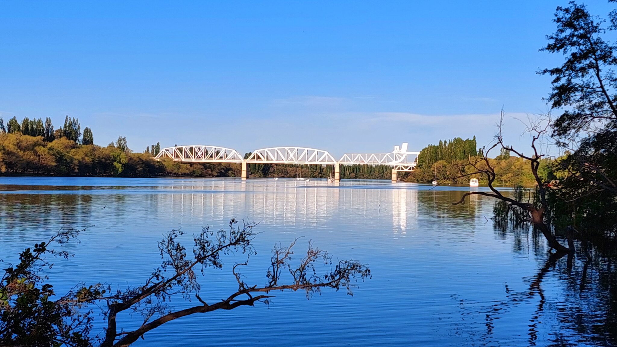
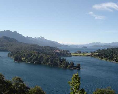
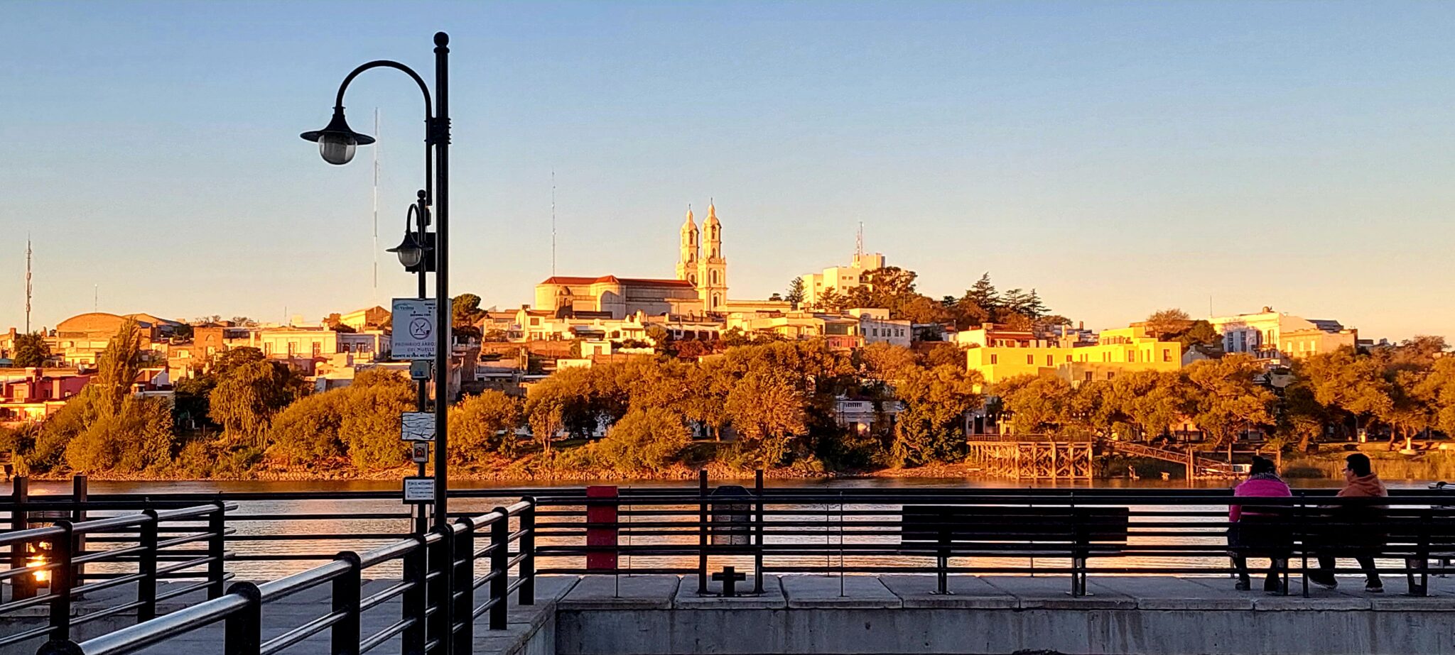
Crossing the picturesque Negro River, the route enters Viedma, capital of Río Negro province, with its distinctive riverfront promenade. From here, the Patagonian Train begins its long journey across the province to its far western edge, San Carlos de Bariloche.
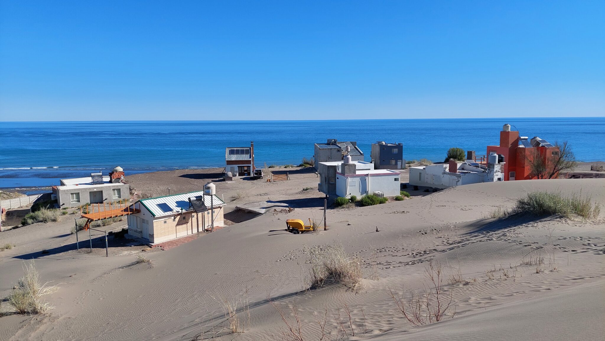
Only 30 km (18.6 miles) from Viedma, the Negro River meets the Atlantic Ocean at Balneario El Cóndor. This small seaside village offers the infrastructure needed for a quiet getaway.
Another 20 km (12.4 miles) on paved road leads to the Protected Natural Area of Punta Bermeja, home to Balneario La Lobería. Just 3 km (1.9 miles) farther, cliffs provide an impressive vantage point over a large colony of South American sea lions.
The “Coastal Route”: wilderness and raw adventure
Here is where true adventure begins. The gravel road cuts into the Patagonian desert, where dunes and a sea of shifting blues and greens open the way. This “Coastal Route” remains largely untouched, with countless fishing spots and landscapes beyond imagination.
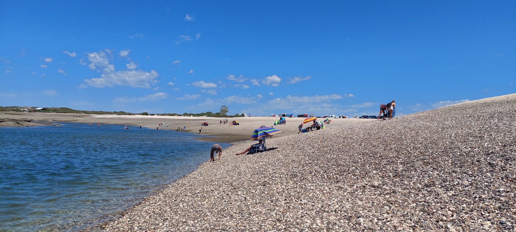
One highlight is Bahía Rosas, a vast expanse of blue waters, ideal for shark fishing. Farther along, Bajada Echandi astonishes with its towering cliffs and nearly deserted beaches. The dream of having a private beach feels real here, if only for a few hours.
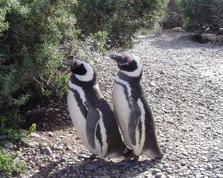
Along the way, it is common to spot Patagonian wildlife such as choiques (lesser rheas), guanacos, martinetas (tinamous), and maras (Patagonian hares).
Hidden treasures and coastal legends
Continuing eastward, the route reaches a small oasis: Bahía Creek. With only a handful of houses and wide beaches, it is a place to search for indigenous stone carvings, fish, or simply pause. In recent years, it has become a point of interest for travelers.
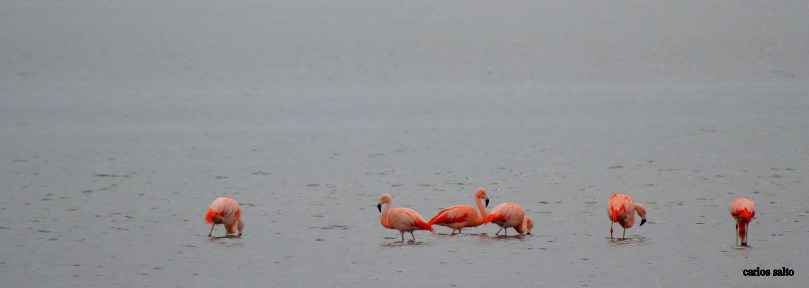
Further on lies Río Negro’s second Protected Natural Area, Caleta de los Loros, also known as Punta Mejillón. Its gently sloping beach reveals striking beauty at low tide. Nearby, sea lions can also be found resting along the shore.
Another curious site is Pozo Salado, where local legend tells of a Nazi submarine buried beneath the sand, though it remains unproven.
From clam fields to the Patagonian Caribbean
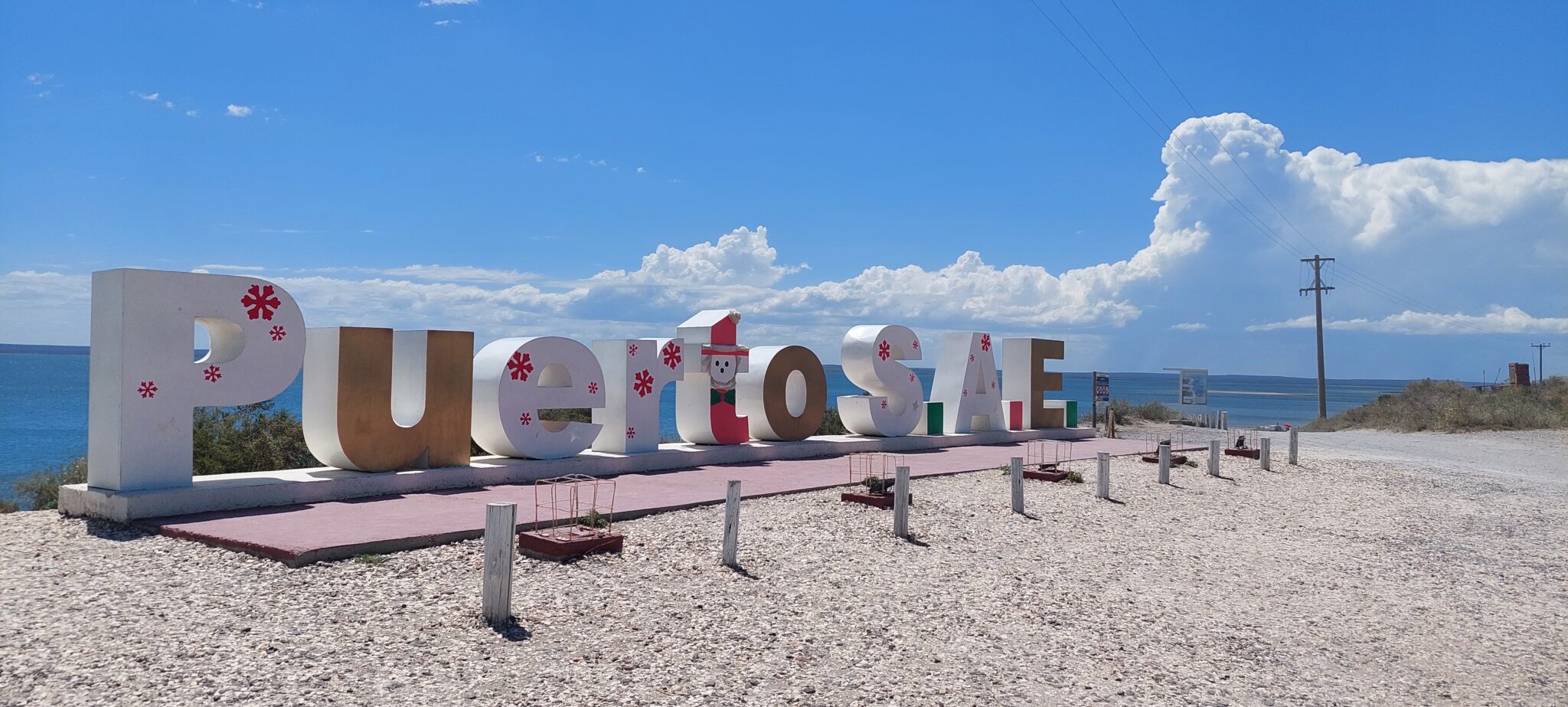
The route continues to Winter and Saco Viejo, gateway to Puerto de San Antonio Este. Here, clam fields abound and the coastline offers dreamlike beaches such as Las Conchillas.
At the end of the road appears what many call the “Patagonian Caribbean”: Punta Perdices. Its clear waters and beaches scattered with seashells and fragments of coral give it a singular character.
In the port town itself, tradition leads to one of its small cantinas to taste freshly caught fish and seafood.
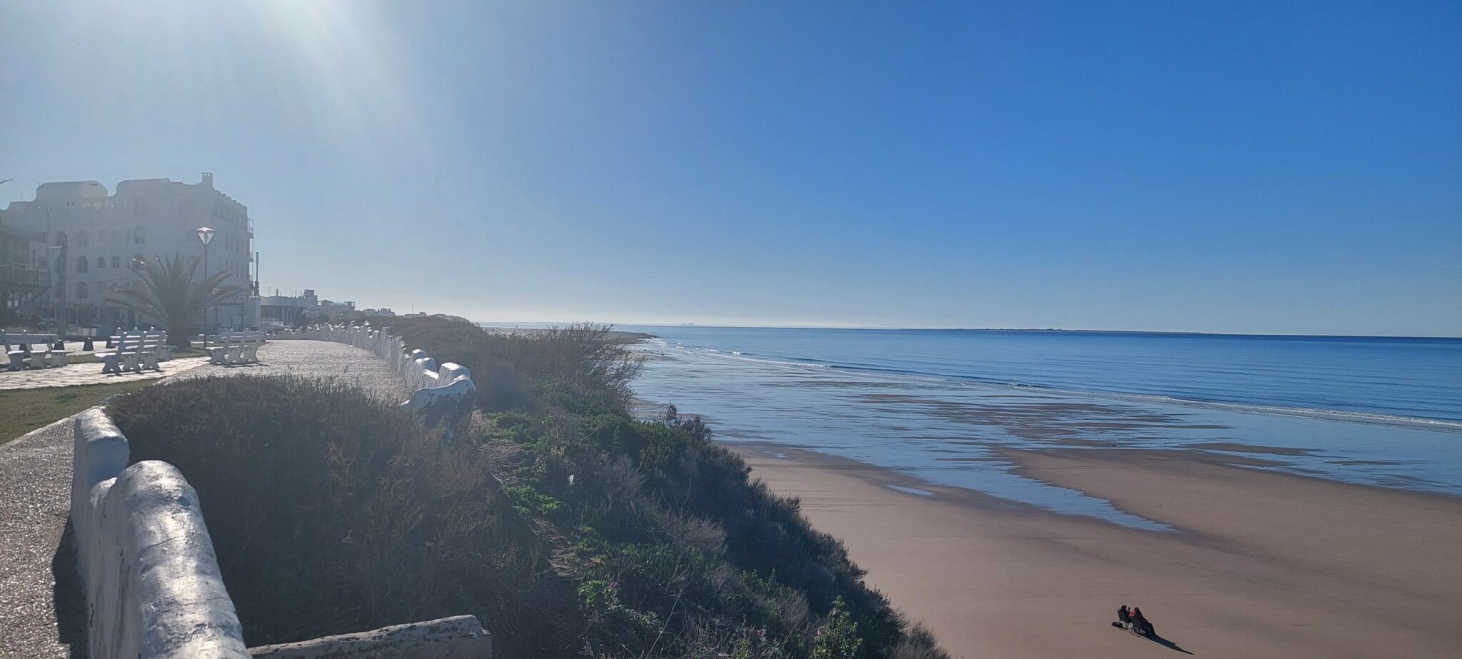
From here, National Route 25 and then Route 3 lead to San Antonio Oeste and, 17 km (10.5 miles) farther, the renowned Balneario Las Grutas. Its position on the San Matías Gulf and its relatively warm waters make it the area’s main tourist hub, with a wide range of hotels and restaurants.
Farther south: golden sunsets and marine life
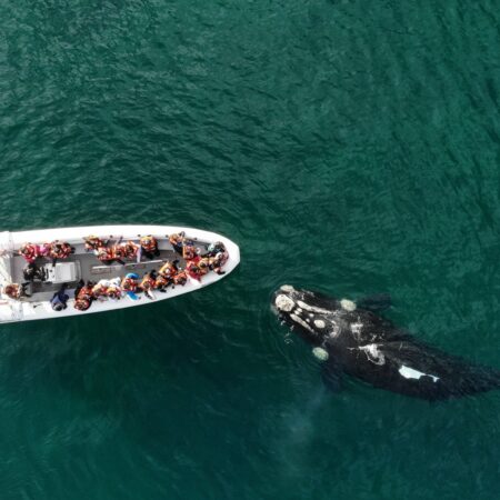
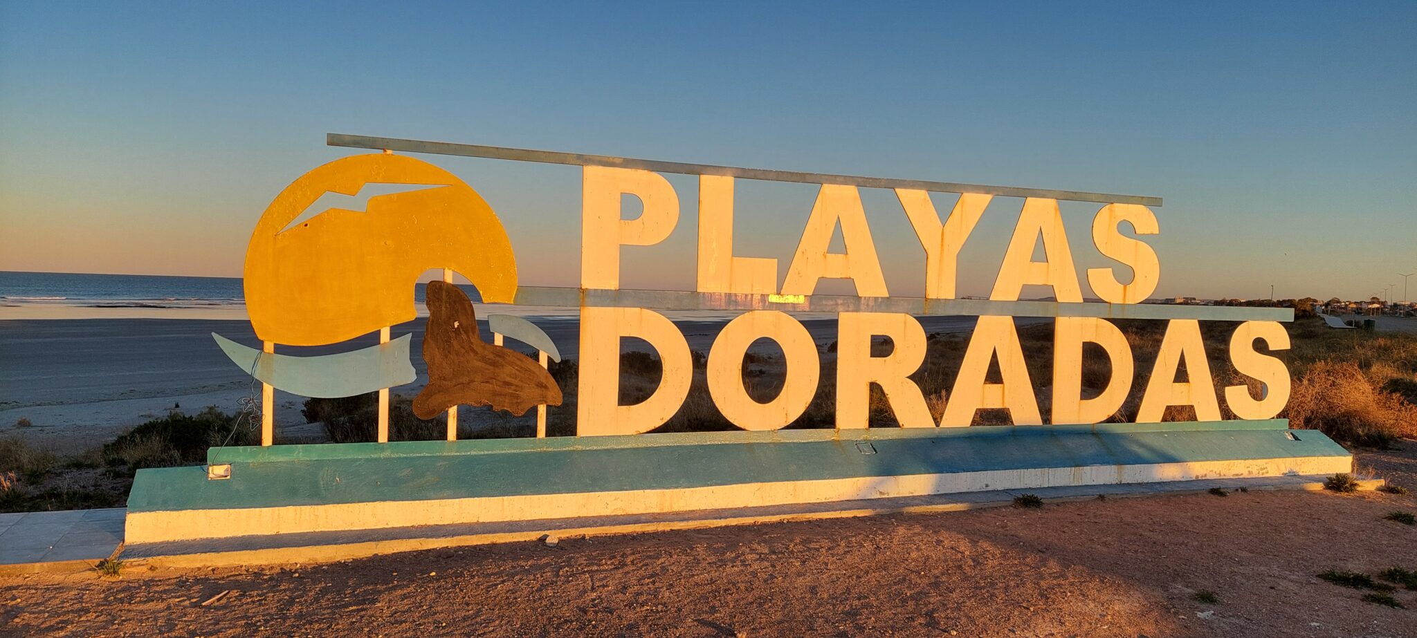
Some 120 km (74.5 miles) south along Route 3 lies Sierra Grande, and only a few kilometers beyond, Playas Doradas. Here, sunsets glow golden and the clear waters are well suited for diving. Just offshore lies the Islote Lobos National Park, home to remarkable marine wildlife.
The route ends at Puerto Lobos, reached via National Route 3 and a detour into the province of Chubut.
By Sergio Pappatico