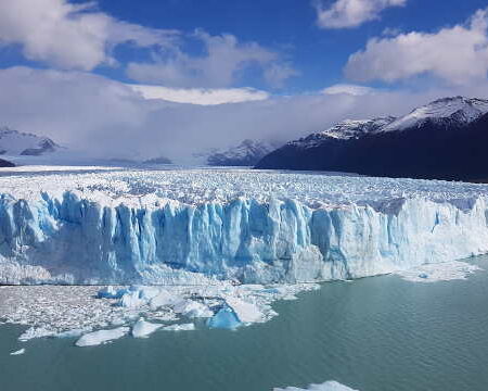
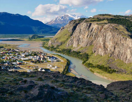
El Chaltén lies within Los Glaciares National Park, not far from the town of El Calafate.
The distance between El Chaltén and El Calafate is about 137 miles (220 km). Most travelers arrive from there, though some venture across the steppe to reach this trekking mecca. The road is fully paved and generally easy to drive, although snow and ice can occasionally block access in winter.
Another way to reach El Chaltén is from the north, driving along National Route 3 to Comandante Luis Piedrabuena and then crossing the province of Santa Cruz via Provincial Route 288. This gravel road is generally well maintained and suitable for standard vehicles—there is no need for four-wheel drive. The route passes through Tres Lagos and connects with National Route 40, which leads to the turnoff to El Chaltén.
Approximate distances to El Chaltén:
- El Calafate: 137 miles (220 km)
- Comodoro Rivadavia: 497 miles (800 km)
- Ushuaia: 640 miles (1030 km)
- Puerto Madryn: 990 miles (1593 km)
- Bariloche: 1273 miles (2048 km)
- Río Gallegos: 281 miles (453 km)
- Comandante Luis Piedrabuena: 216 miles (347 km)
- Buenos Aires: 1808 miles (2910 km)