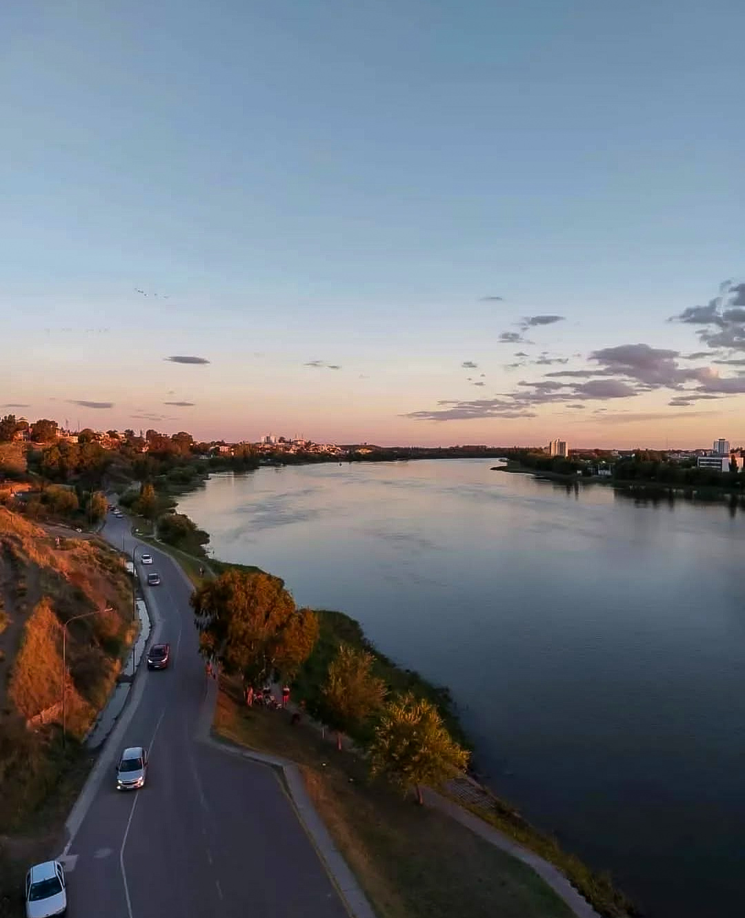
Carmen de Patagones, the southernmost city in the province of Buenos Aires, rises on the banks of the Negro River, at a point where the Pampas plain begins to give way to the Patagonian horizon.
Its location, alongside the most voluminous river in the region, defined from its origins a destiny marked by trade, navigation, and territorial defense.
 The Negro River, axis of regional life
Called Currú Leuvú by the native peoples, the Negro River is born from the confluence of the Limay and Neuquén rivers and has accompanied the development of the city since the 18th century. Its calm waters favor navigation and water sports, while the riverside resorts offer meeting places. Fishing is another of its traditional activities.
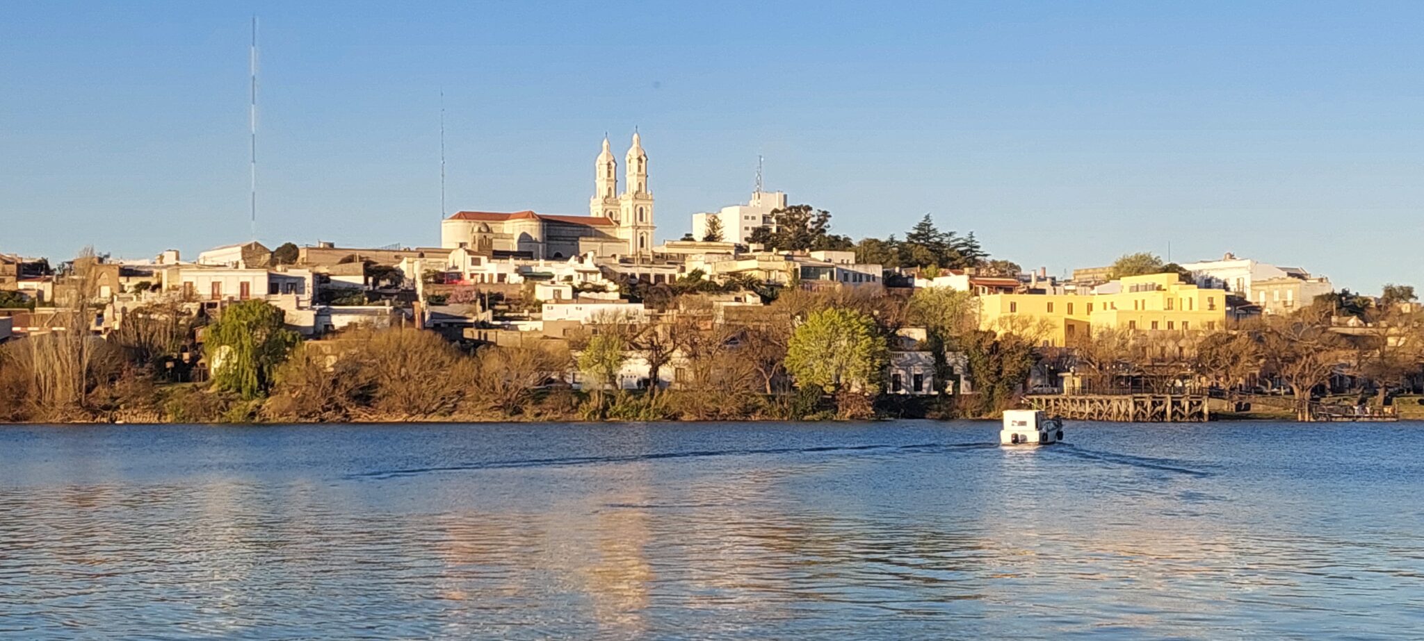 During the 19th century, Carmen de Patagones was a stage for privateering activity and an active port that supplied the region. Today, the riverside preserves old houses that evoke that past and reinforce the bond between the river and the city.
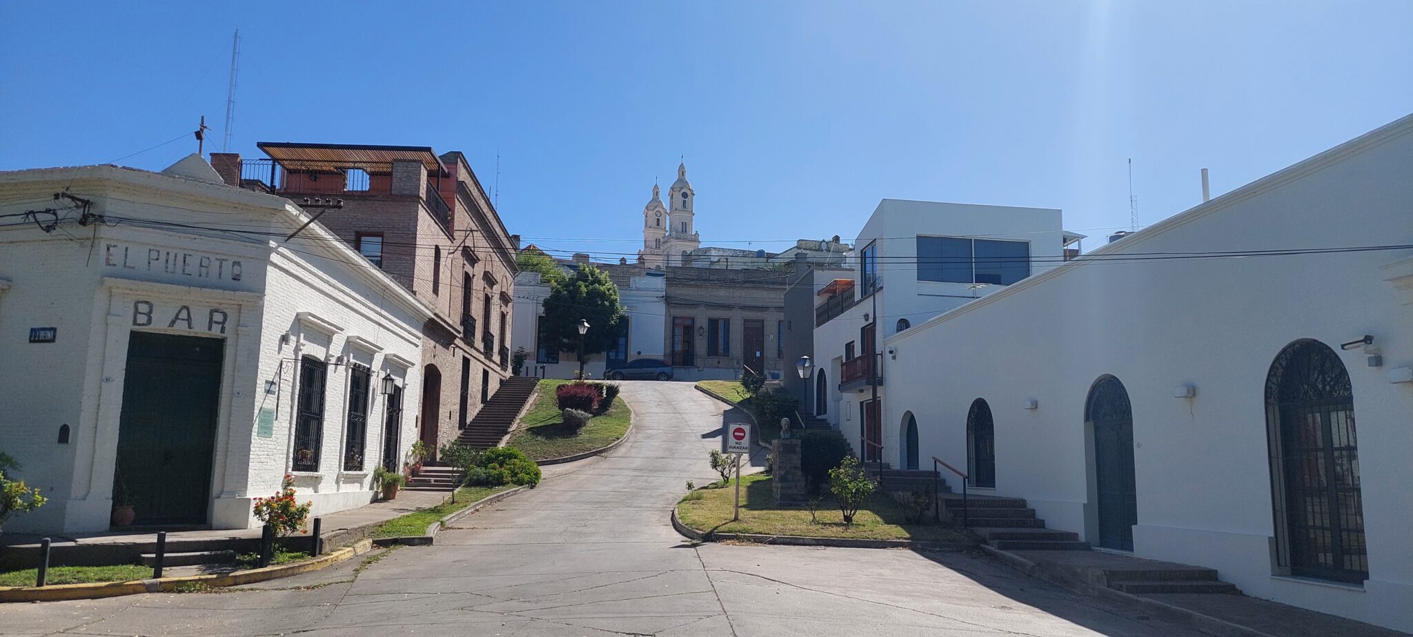
 Historic and cultural heritage
With more than 230 years of history, Carmen de Patagones is recognized as the “Cradle of Patagonia’s History.” Its Historic Quarter maintains a homogeneous colonial architecture, in which several landmarks stand out:
- La Carlota: 19th-century adobe and tile house that preserves period furniture.
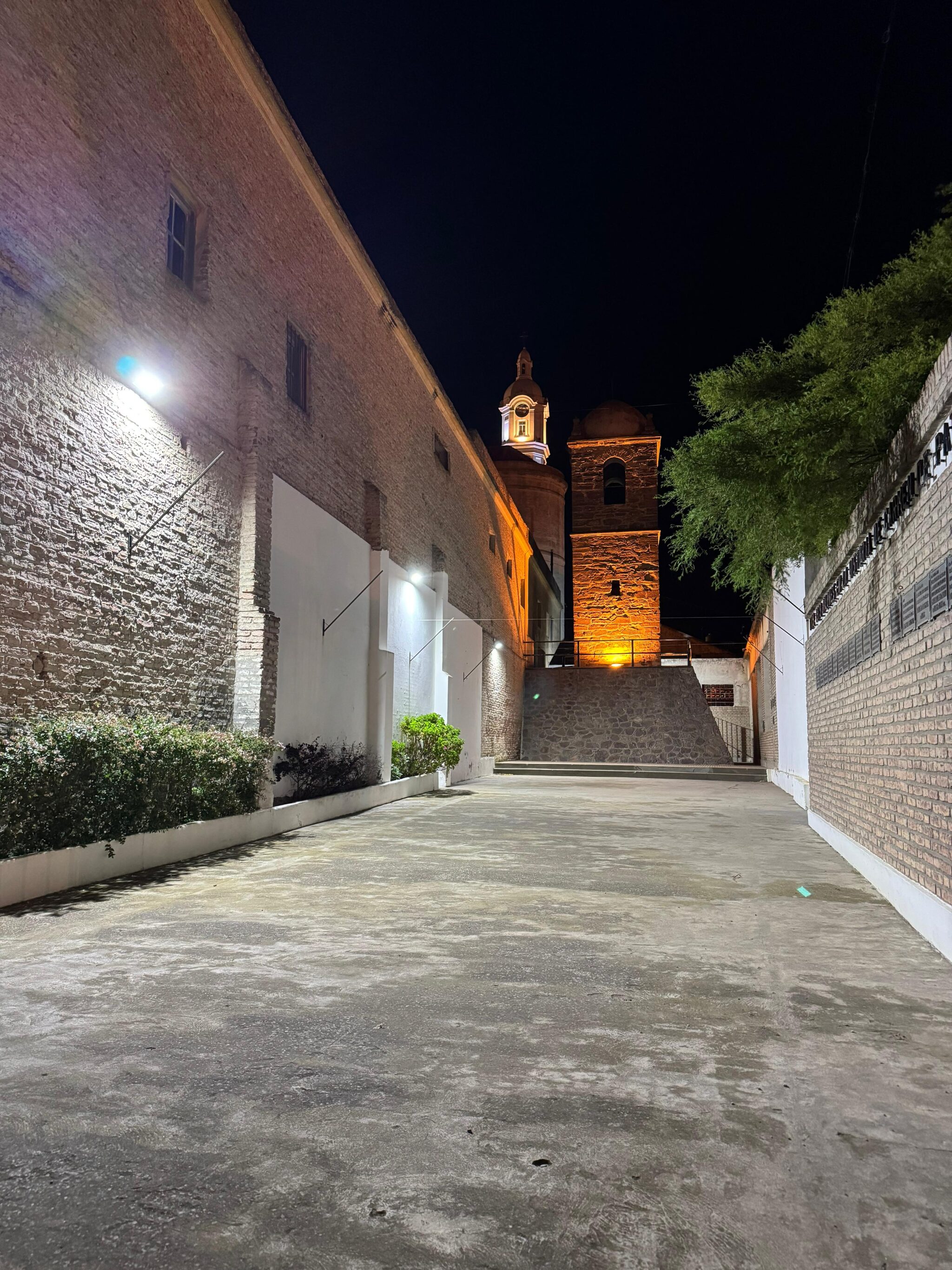
- The Tower of the Old Fort: 18th-century construction, symbol of the defense of sovereignty in southern Argentina.
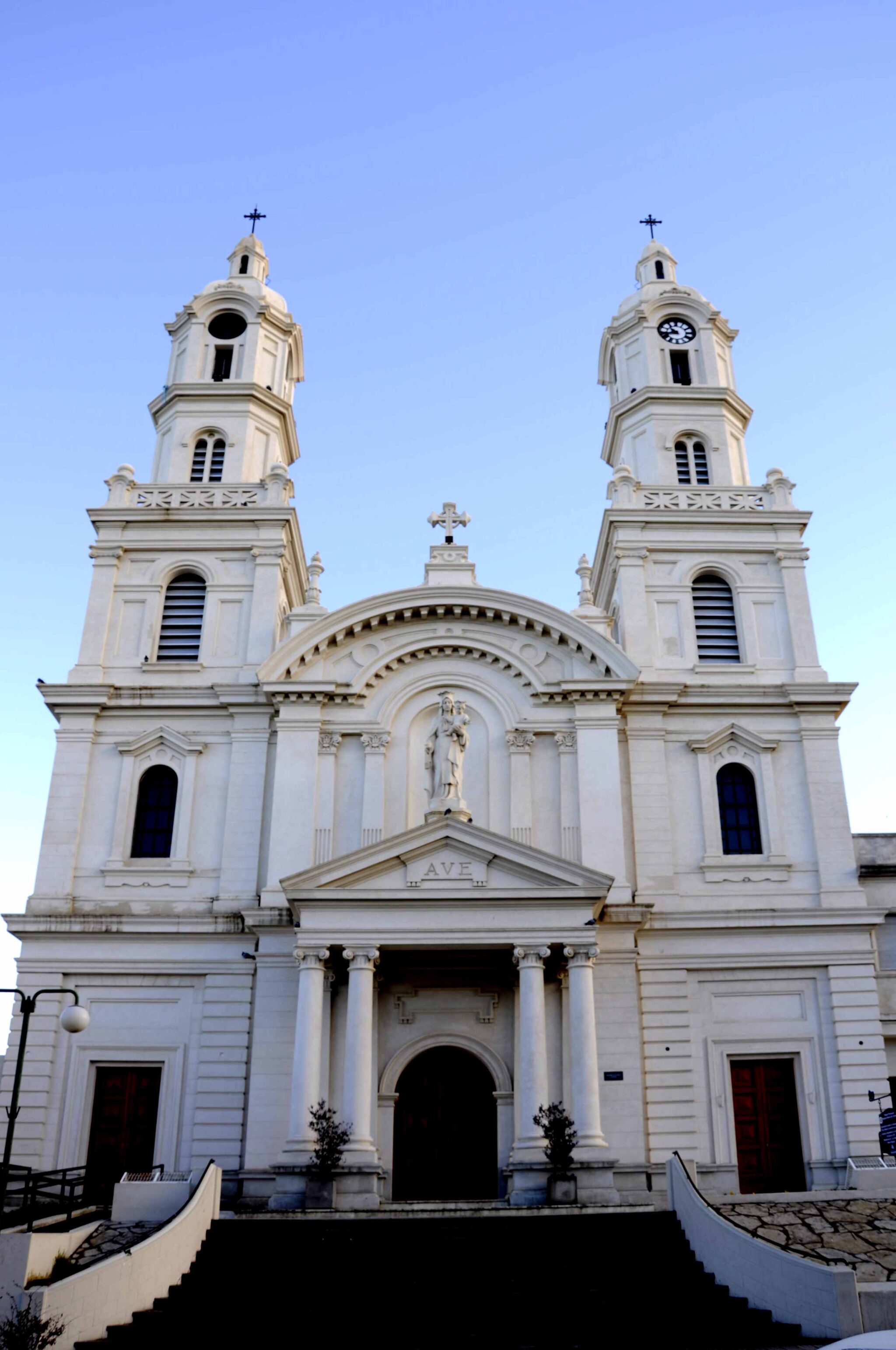
- Parish Church (1885): holds the oldest image of the Virgin in the south of the country and the imperial flags taken in the battle of 1827, an event commemorated every March 7 during the Fiesta de la Soberanía Patagónica.
- Regional Historical Museum “Francisco de Viedma”: houses more than 7,900 pieces narrating the city’s history.
- The Cerro de la Caballada, scene of the 1827 defense against the Brazilian invasion, also offers one of the most remarkable views of the region: the river course, the bridges, and the profile of the sister cities, Carmen de Patagones and Viedma.
 The Cardenal Cagliero Salt Flat
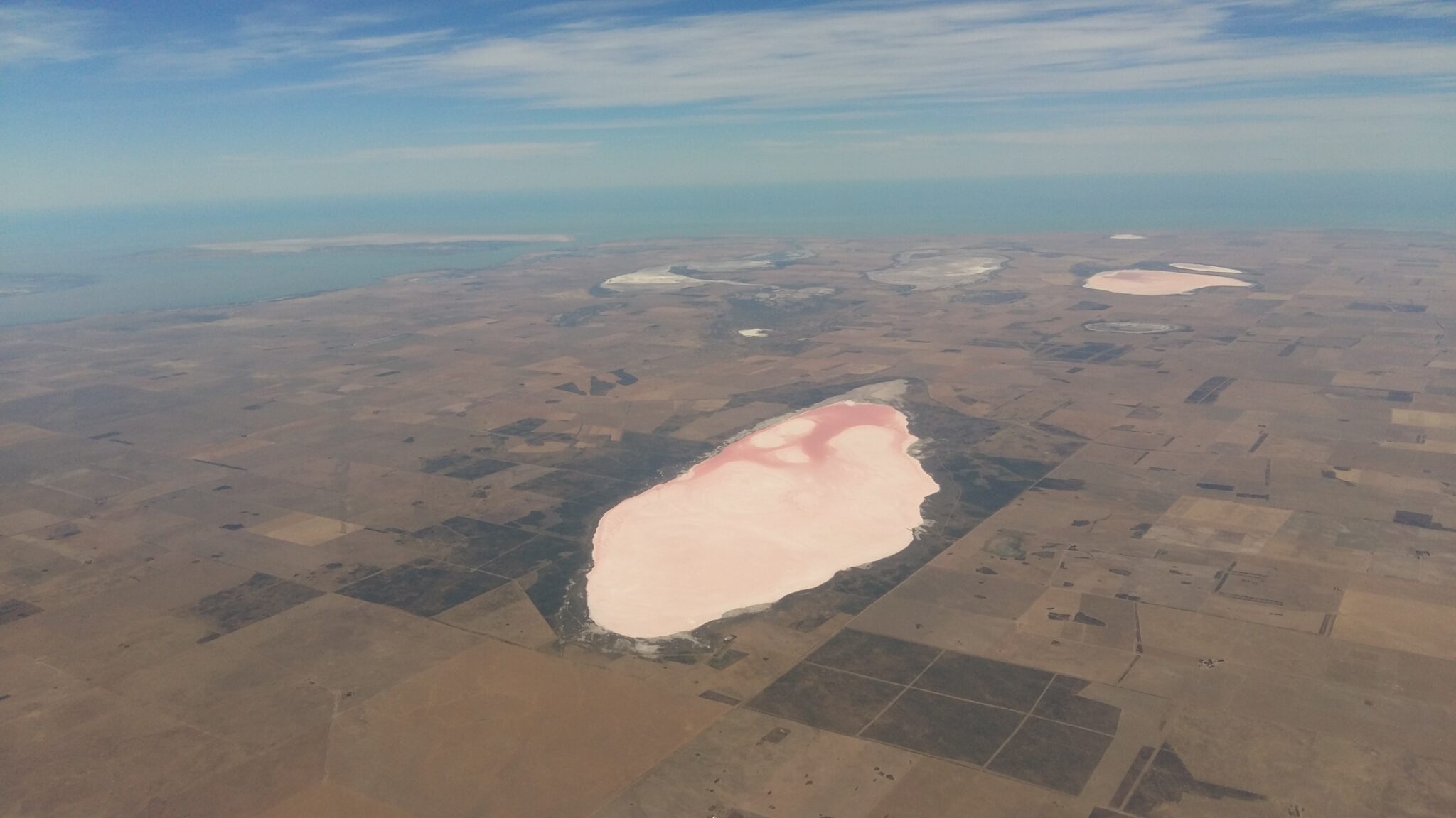 35 kilometers from Carmen de Patagones lies the Cardenal Cagliero Salt Flat, near the town of the same name. Since before 1890, this resource was exploited and transported first by carts and later by train to Bahía San Blas. The salt flat, with flat topography and semi-arid conditions, is a temporary body of water. In winter it accumulates water, which in spring turns pink due to the proliferation of algae and bacteria. In summer, as it dries, the salt harvest begins, a process lasting around 45 days.
 Towns of the Partido de Patagones
- Stroeder: founded in 1913 by German entrepreneur Hugo Stroeder, its growth was linked to the railway. Today the Railway Museum occupies the old station, while the silo of the former National Grain Board, inaugurated in 1962, was at the time the largest in southern Argentina and the southernmost in the world.
- Villa Turística 7 de Marzo: located 35 kilometers from Carmen de Patagones, at the mouth of the Negro River. Its beaches and estuary are ideal for sport fishing and off-road trips.
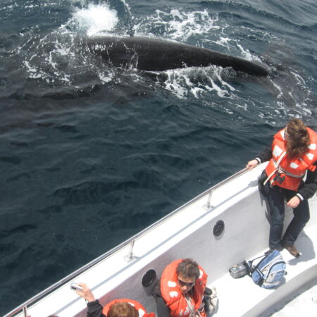
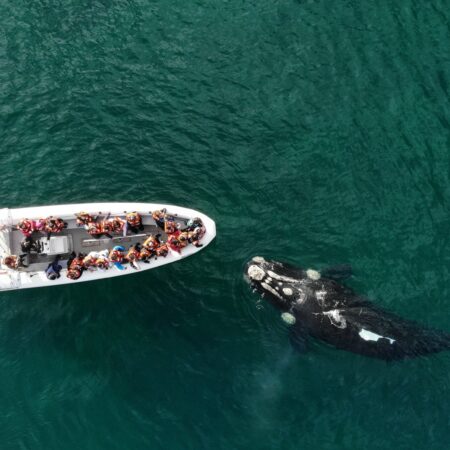
- Los Pocitos: 80 kilometers from Carmen de Patagones, this resort belongs to the Bahía San Blas Multiple-Use Natural Reserve. Founded in 1959, it is characterized by both coastal and boat fishing, as well as the most extensive oyster beds in the region, celebrated in the Provincial Oyster Festival. It is also habitat for shorebirds and the franciscana dolphin, an endangered species.
- Villalonga: founded in 1929, it stands out for the Shrine of the Virgin of Schoenstatt, located in the Church of Our Lady of the Rosary. Every 18th of the month it gathers devotees who associate the place with manifestations of popular faith.
© Sergio Pappatico